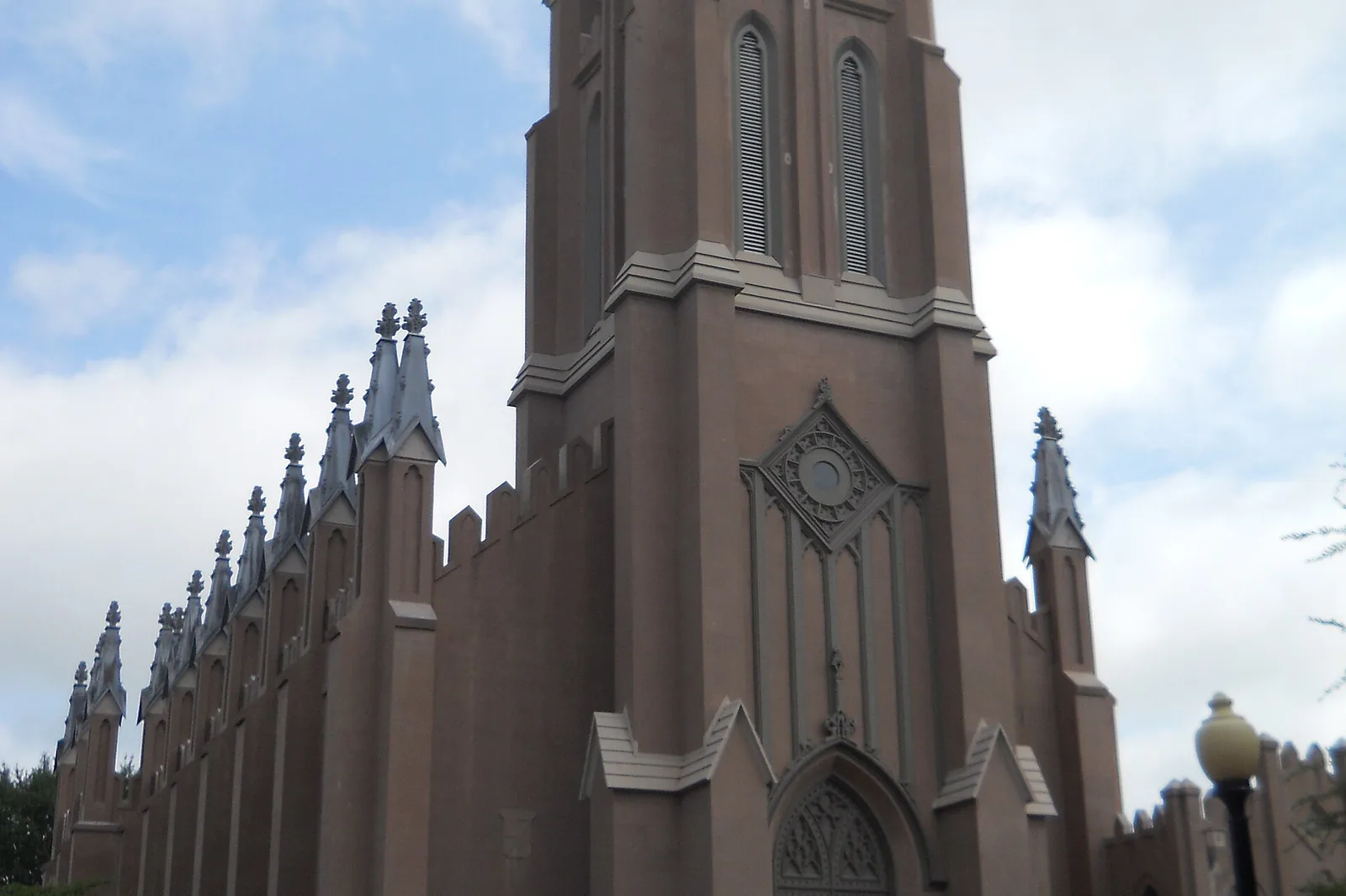
Downtown Norfolk's civic league area covers 308 acres, mostly ZIP 23510, where Zillow's typical home value was $327,623 in September 2026.
Last checked Oct. 20, 2026. Sources: the City of Norfolk’s civic league map, zoning overlays and parks layer, Norfolk Public Schools’ 2026-27 attendance boundaries, the state’s School Quality Profiles, Zillow Research, Hampton Roads Transit’s schedule data and OpenStreetMap.
Downtown sits on the north bank of the Elizabeth River and is “the hub of the entire Hampton Roads region,” the city’s NFK2050 report says. It is “reestablishing itself as one of the city’s vibrant neighborhoods,” growing in residents and moving on from being a “nine-to-five financial and commercial district.” This page uses the boundary of the Downtown Norfolk Civic League on the city’s map, about 308 acres.
What this means for you
- Zoned high school: Maury High for most of Downtown; the east side is zoned for Booker T. Washington. Check an address with Find My School.
- Home value: $327,623 in ZIP 23510 in September 2026, according to the Zillow Home Value Index.
- Nearest interstate exit: I-264 exit 10 (City Hall Avenue and Tidewater Drive) or exit 9 (Waterside Drive).
Part of our Norfolk neighborhoods guide. For restaurants and things to do, see our downtown Norfolk guide.
Where it is
The civic league area runs north from the waterfront past MacArthur Center and the Slover Library, and takes in the Freemason streets on its west side. About 92% of it is in ZIP code 23510; small edges fall in 23517 and 23507.
On the city’s zoning map, 84% of the area is in the Downtown character district and the rest in the Traditional district. About 10% is in the Downtown Historic Overlay, where building changes need a certificate of appropriateness under the Zoning Ordinance, and a corner is in the East Freemason local historic district.
About 62% of the area is in the city’s Coastal Resilience Overlay, which the ordinance applies to “areas of the city subject to higher flood risk.” New buildings there must meet extra flood standards. See our hurricane prep guide.
Schools
These are the approved 2026-27 zones, from Norfolk Public Schools’ boundary locator. Ratings are the state’s 2025-26 School Performance and Support Framework level and score.
| Level | School | Share of the area | State rating |
|---|---|---|---|
| Elementary | P.B. Young Sr. Elementary, 543 E. Olney Road | About 69% | Needs Intensive Support, 61.9 |
| Elementary | Walter Herron Taylor Elementary, 1122 W. Princess Anne Road | About 31% (west) | Meets Expectations, 93.41 |
| Middle | Blair Middle, 730 Spotswood Ave. | About 86% | Needs Intensive Support, 78.77 |
| Middle | Ruffner Academy, 610 May Ave. | About 14% | Approaching Expectations, 66.71 |
| High | Maury High, 322 Shirley Ave. | About 83% | Meets Expectations, 86.93 |
| High | Booker T. Washington High | About 17% (east) | Needs Intensive Support, 73.16 |
P.B. Young is planned to close for the 2027-28 school year under the division’s consolidation plan, so the Downtown elementary zone will change. Ruffner was conditionally accredited for 2025-26; the other schools were fully accredited. More in our schools guide.
Home values
The typical home value in ZIP 23510 was $327,623 in September 2026, down 1.6% from $332,995 a year earlier, according to the Zillow Home Value Index. The index is a modeled typical value for the middle third of homes, not a sale price, and it covers the whole ZIP code. The citywide figure was $310,673, up 1.5%.
Property in the Downtown Improvement District pays a real estate rate of $1.39 per $100 of assessed value for fiscal 2027, against $1.23 elsewhere. See our property taxes guide and home prices guide.
Parks and public spaces
From the city’s parks records:
- MacArthur Memorial Plaza, 404 E. Plume St., and Plume Fountain, 435 E. Plume St.
- Downtown Dog Park, 416 Granby St.
- Flatiron Park, 114 W. Charlotte St.
- Wisconsin Plaza, 235 Brooke Ave., at the edge of the area
- Town Point Park, 201 Waterside Drive, a 17.7-acre park on the river just south of the civic league line
- Slover Library, the downtown branch of Norfolk Public Library, 235 E. Plume St.
More in our parks guide.
Getting around
- Interstate 264: exit 10 (City Hall Avenue and Tidewater Drive) and exit 9 (Waterside Drive), by the signs mapped in OpenStreetMap. Exit 8 leads to I-464 toward Berkley and Chesapeake.
- City Hall: about 0.8 mile by road from the middle of the area.
- Norfolk International Airport: about 6.7 miles. Both are distances measured on the OpenStreetMap road network with the OSRM routing engine, not drive times.
- The Tide light rail runs through Downtown.
- Hampton Roads Transit buses with stops here include routes 1 (Granby Street), 2 (Hampton Boulevard), 3 (Chesapeake Boulevard), 4 (Church Street), 6 (South Norfolk), 8 (Tidewater Drive), 9 (Sewells Point Road), 11 (Colonial Avenue), 13 (Campostella Road), 18 (Ballentine Boulevard), 20 (Virginia Beach Boulevard), 44 (Midtown) and 45 (Portsmouth Boulevard), plus 757 Express routes 960 and 961.
- Elizabeth River Ferry (route 90) to Portsmouth leaves from the Waterside stop at the river’s edge.
More in our getting around guide.
Groceries and everyday stores
OpenStreetMap shows no supermarket inside the civic league line. The nearest is Harris Teeter, 1320 Colonial Ave., in Ghent, about 0.9 mile from the middle of Downtown. MacArthur Center sits inside the area.
How we drew this area
Downtown here is the Downtown Norfolk Civic League area on the city’s civic league map. School and ZIP code shares were measured on a grid of points across it. Store locations and exit numbers are © OpenStreetMap contributors.
Frequently asked questions
What ZIP code is downtown Norfolk?
Most of the Downtown Norfolk Civic League area is in ZIP 23510. Zillow put the typical home value there at $327,623 in September 2026, down 1.6% from a year earlier.
What schools serve downtown Norfolk?
For 2026-27, most of Downtown is zoned for P.B. Young Sr. Elementary, Blair Middle and Maury High. The western part is zoned for Taylor Elementary, and parts of the east for Ruffner Academy and Booker T. Washington High. P.B. Young is planned to close for 2027-28.
Is downtown Norfolk a good place to live?
Downtown is the city’s Downtown character district, with The Tide light rail, the Slover Library and more than a dozen HRT bus routes. It is zoned mostly for Maury High, rated Meets Expectations for 2025-26, and the typical home value in 23510 was $327,623 in September 2026, according to Zillow.
Do downtown Norfolk properties pay a higher tax rate?
Property in the Downtown Improvement District pays $1.39 per $100 of assessed value for fiscal 2027, including an extra $0.16, against $1.23 elsewhere in the city.
Have your say