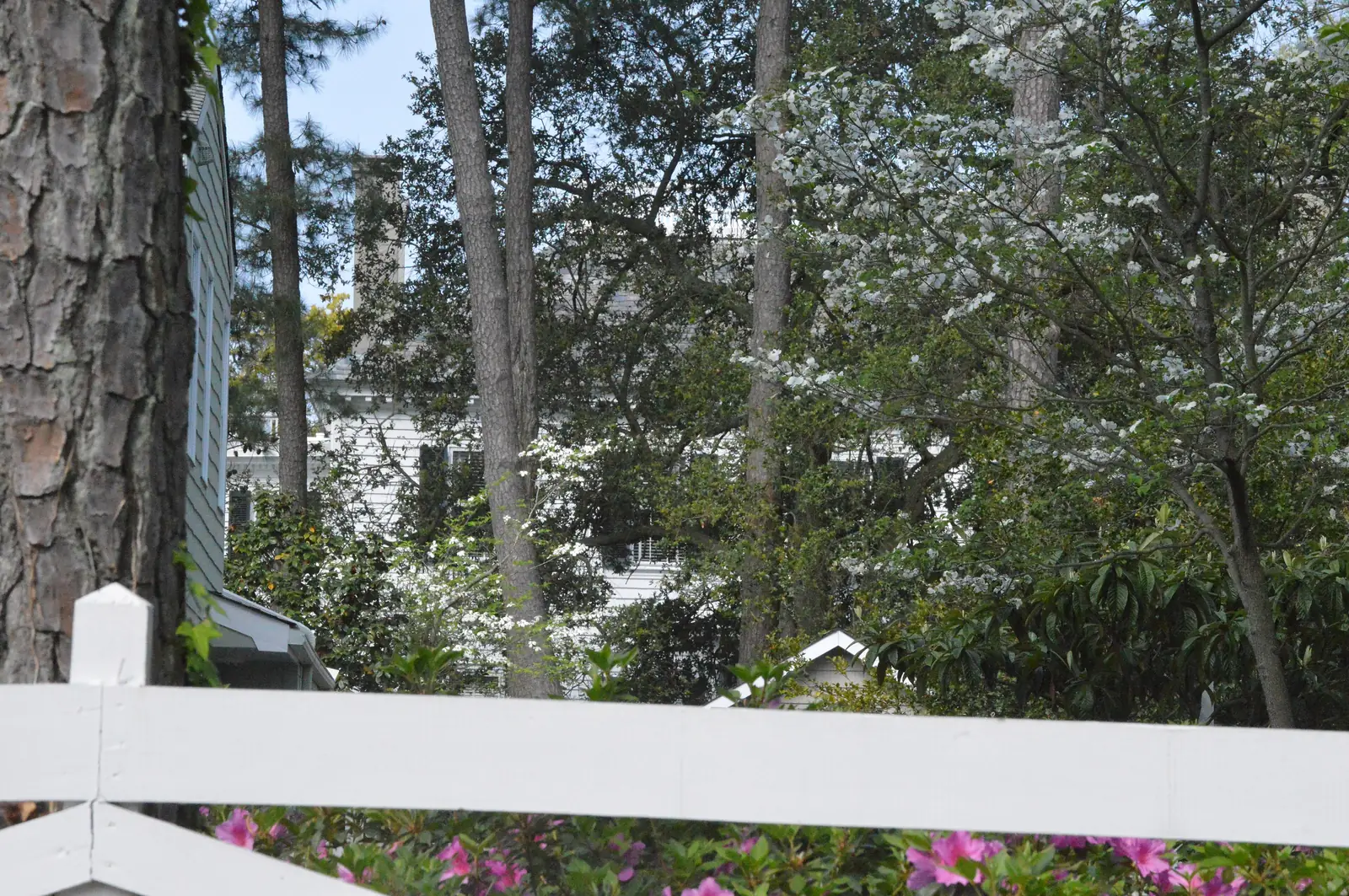
Larchmont and Edgewater cover 946 acres on Hampton Boulevard in ZIP 23508, zoned for Larchmont Elementary, the top-scoring Norfolk school for 2025-26.
Last checked Oct. 20, 2026. Sources: the City of Norfolk’s civic league map, planning districts, zoning overlays, parks layer and NFK2050 existing conditions report (PDF), Norfolk Public Schools’ 2026-27 attendance boundaries, the state’s School Quality Profiles, Zillow Research, Hampton Roads Transit’s schedule data and OpenStreetMap.
Larchmont and Edgewater are the residential streets on both sides of Hampton Boulevard north of Old Dominion University, on the Lafayette River. The city’s NFK2050 report lists Larchmont among the neighborhoods laid out in the 1890s and 1900s, and says the streetcar line built along what is now Hampton Boulevard for the 1907 Jamestown Exposition sparked “the development of neighborhoods along its length.”
What this means for you
- Zoned high school: Maury High for almost all of the area in 2026-27. Check an address with Find My School.
- Home value: $379,098 in ZIP 23508 in September 2026, according to the Zillow Home Value Index.
- Nearest interstate exit: Interstate 564 exit 2 (Terminal Boulevard) or I-64 exit 276 (Granby Street), each about 2.5 miles from the middle of the area in a straight line.
Part of our Norfolk neighborhoods guide.
Where it is
This page uses the Larchmont and Edgewater civic league area on the city’s map, about 946 acres. The city’s planning map calls the same part of town Planning District 37, Edgewater-Larchmont. Hampton Boulevard runs through the middle, with Jamestown Crescent, Richmond Crescent and North Fairwater Drive among the named streets OpenStreetMap shows. The Lafayette River forms its northern edge.
About 98% of the area is in ZIP code 23508; a sliver near the university is in 23529. On the city’s zoning map, 90% is in the Suburban character district and the rest in the Traditional district. Single-family zoning (SF-10 and SF-6) covers about 40% of the land.
Flood risk. About 95% of the area is in the city’s Coastal Resilience Overlay, which the Zoning Ordinance applies to “areas of the city subject to higher flood risk.” New buildings must meet extra flood standards. See our hurricane prep guide.
Near the university. A small part of the area is in the Institutional Residential Impact Overlay, which sets extra off-street parking rules for homes “in areas adjacent to major educational institutions,” the ordinance says.
Schools
These are the approved 2026-27 zones, from Norfolk Public Schools’ boundary locator. Ratings are the state’s 2025-26 School Performance and Support Framework level and score; all three schools were fully accredited.
| Level | School | Address | State rating |
|---|---|---|---|
| Elementary | Larchmont Elementary | 1145 Bolling Ave. | Distinguished, 94.23 |
| Middle | Blair Middle | 730 Spotswood Ave. | Needs Intensive Support, 78.77 |
| High | Maury High | 322 Shirley Ave. | Meets Expectations, 86.93 |
Larchmont Elementary had the highest framework score in the division for 2025-26. About 1% of the area, at its eastern edge, is zoned for Granby Elementary and Granby High instead. More in our schools guide.
Home values
The typical home value in ZIP 23508 was $379,098 in September 2026, up 0.7% from $376,526 a year earlier, according to the Zillow Home Value Index. The index is a modeled typical value for the middle third of homes, not a sale price, and 23508 also covers Colonial Place and part of Park Place. The citywide figure was $310,673. More in our home prices guide.
Parks and trails
From the city’s parks records, all inside the area:
- Larchmont Elementary and Recreation Center, 1167 Bolling Ave., an 18.6-acre school and recreation site
- Myrtle Park, 6125 Myrtle Park
- Cambridge Park and Cambridge Crescent Dog Park, 6125 Carroll Place
- Bluestone Playground, 5209 Bluestone Ave.
- Virginia Park, 5801 Upper Brandon Place
- Larchmont Branch Library, 6525 Hampton Blvd.
The city’s mapped route of the Elizabeth River Trail passes through the area. More in our parks guide and walking and biking trails guide.
Getting around
- Main road: Hampton Boulevard, north to Naval Station Norfolk and south toward Ghent and Downtown.
- Interstates: I-564 exit 2 (Terminal Boulevard) and I-64 exit 276 (Granby Street), by the signs mapped in OpenStreetMap, about 2.3 to 2.6 miles away in a straight line.
- City Hall: about 4.6 miles by road from the middle of the area.
- Norfolk International Airport: about 8.1 miles. Both are distances measured on the OpenStreetMap road network with the OSRM routing engine, not drive times.
- Hampton Roads Transit: route 2 (Hampton Boulevard) stops in the area.
More in our getting around guide.
Groceries and everyday stores
OpenStreetMap maps no supermarket or pharmacy inside the area. The nearest supermarkets it shows are Food Lion, 2401 Colley Ave., and the West 21st Street stores in Ghent, including The Fresh Market, 855 W. 21st St., about 1.6 to 1.7 miles from the middle of the area.
How we drew this area
Larchmont and Edgewater here is the civic league area of that name on the city’s civic league map. School and ZIP code shares were measured on a grid of points across it. Store locations, street names and exit numbers are © OpenStreetMap contributors.
Frequently asked questions
What ZIP code is Larchmont in Norfolk?
Larchmont and Edgewater are almost entirely in ZIP 23508. Zillow put the typical home value there at $379,098 in September 2026, up 0.7% from a year earlier.
What schools serve Larchmont?
For 2026-27, Larchmont and Edgewater are zoned for Larchmont Elementary, Blair Middle and Maury High. Larchmont Elementary was rated Distinguished with a score of 94.23 for 2025-26, the highest in Norfolk Public Schools.
Is Larchmont a good place to live?
Larchmont and Edgewater are a Suburban character district neighborhood with a branch library, a recreation center and five other city parks. They are zoned for Maury High, rated Meets Expectations for 2025-26, and the typical home value in 23508 was $379,098 in September 2026, according to Zillow.
Does Larchmont flood?
About 95% of the civic league area is in the city’s Coastal Resilience Overlay, which the Zoning Ordinance applies to parts of the city with higher flood risk. New buildings there must meet extra flood standards.
Have your say