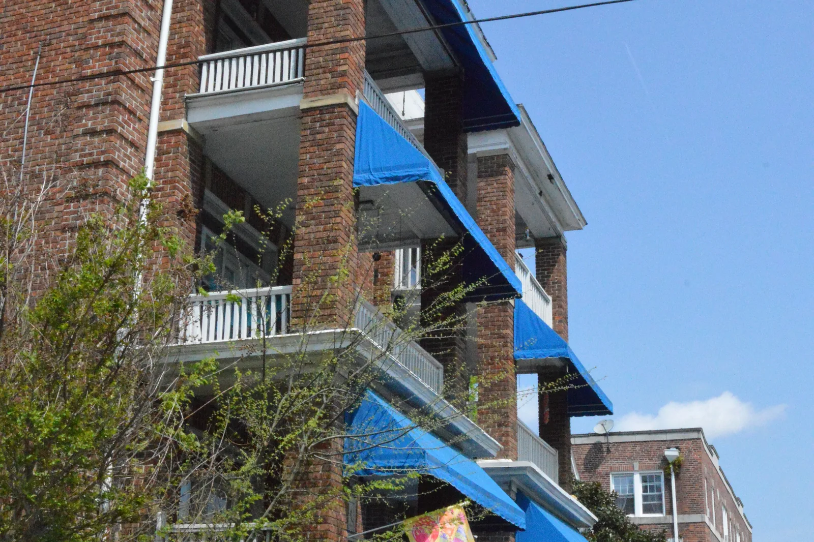
Park Place covers 306 acres around Colonial Avenue and West 29th Street, split among ZIP codes 23508, 23517 and 23504 and two high school zones.
Last checked Oct. 20, 2026. Sources: the City of Norfolk’s civic league map, zoning overlays, parks layer and NFK2050 existing conditions report (PDF), Norfolk Public Schools’ 2026-27 attendance boundaries, the state’s School Quality Profiles, Zillow Research, Hampton Roads Transit’s schedule data and OpenStreetMap.
Park Place is the grid of numbered streets north of Ghent and south of Colonial Place, crossed by Colonial Avenue and Granby Street. The city’s NFK2050 report lists it among the neighborhoods laid out in the 1890s and 1900s. This page uses the Park Place civic league area on the city’s map, about 306 acres.
What this means for you
- Zoned high school: split between Maury High (about 57%) and Granby High (43%) for 2026-27. Check an address with Find My School.
- Home value: $321,257 in ZIP 23517 and $379,098 in 23508 in September 2026, according to the Zillow Home Value Index.
- Nearest interstate exit: I-264 exit 9 (Waterside Drive) or exit 10 (City Hall Avenue), about 2.2 miles away in a straight line.
Part of our Norfolk neighborhoods guide.
Where it is
Park Place is split among three ZIP codes: about 44% is in 23508, 36% in 23517 and 21% in 23504. All of it is in the city’s Traditional character district. Multifamily neighborhood zoning (MF-NS) covers about 39% of the land and light industrial zoning about 12%.
Neighborhood overlay. Half the area is in the Park Place Neighborhood Resilience Overlay. Its purpose, the Zoning Ordinance says, is “to conserve the existing residential architectural character” of “one of the older neighborhoods in Norfolk with residences built close to the sidewalk on smaller lots.” It sets yard and lot sizes for new houses to match.
Landmarks. The city’s zoning map shows the Tidewater Supply Company and the Boys & Girls Club as local historic landmarks in the area, and a small part of the Norfolk & Western Historic Overlay. The 35th Street Pedestrian Commercial Overlay covers the shops on 35th Street.
Flood risk. About 31% of the area is in the city’s Coastal Resilience Overlay, which the ordinance applies to “areas of the city subject to higher flood risk.”
Schools
These are the approved 2026-27 zones, from Norfolk Public Schools’ boundary locator. Ratings are the state’s 2025-26 School Performance and Support Framework level and score; all were fully accredited.
| Level | School | Share of the area | State rating |
|---|---|---|---|
| Elementary | James Monroe Elementary, 520 W. 29th St. | About 58% | Meets Expectations, 80.81 |
| Elementary | Granby Elementary, 7101 Newport Ave. | About 23% | Needs Intensive Support, 71.15 |
| Elementary | Walter Herron Taylor Elementary | About 12% | Meets Expectations, 93.41 |
| Elementary | Lindenwood Elementary | About 7% | Meets Expectations, 81.27 |
| Middle | Blair Middle, 730 Spotswood Ave. | All | Needs Intensive Support, 78.77 |
| High | Maury High, 322 Shirley Ave. | About 57% | Meets Expectations, 86.93 |
| High | Granby High, 7101 Granby St. | About 43% | Approaching Expectations, 83.3 |
Granby and Lindenwood elementary schools are planned to close for 2027-28 under the division’s consolidation plan, so the elementary zones here will change. More in our schools guide.
Home values
From the Zillow Home Value Index for September 2026:
| ZIP code | Share of Park Place | Typical value | A year earlier | Change |
|---|---|---|---|---|
| 23508 | 44% | $379,098 | $376,526 | +0.7% |
| 23517 | 36% | $321,257 | $323,919 | -0.8% |
| 23504 | 21% | $269,145 | $266,381 | +1% |
The index is a modeled typical value for the middle third of homes, not a sale price, and each figure covers a whole ZIP code, not Park Place alone. The citywide figure was $310,673. More in our home prices guide.
Parks and community buildings
From the city’s parks and facilities records:
- James Monroe Elementary and Park Place Recreation, 520 W. 29th St., 11.2 acres
- Park Place Community Center, 606 W. 29th St.
- Park Place Branch Library, 620 W. 29th St.
- Munson Park, 2608 Gosnold Ave.
- Colonial Avenue Park, 3300 Colonial Ave.
- Lafayette Park, 3500 Granby St., 31.7 acres, at the edge of the area
More in our parks guide.
Getting around
- Main roads: Granby Street, Colonial Avenue and Colley Avenue north and south.
- Interstate 264: exit 9 (Waterside Drive) and exit 10 (City Hall Avenue and Tidewater Drive), by the signs mapped in OpenStreetMap, about 2.2 miles away in a straight line.
- City Hall: about 2.6 miles by road from the middle of the area.
- Norfolk International Airport: about 6 miles. Both are distances measured on the OpenStreetMap road network with the OSRM routing engine, not drive times.
- Hampton Roads Transit: routes 1 (Granby Street), 4 (Church Street) and 11 (Colonial Avenue) stop in the area.
More in our getting around guide.
Groceries and everyday stores
From OpenStreetMap, all within about half a mile of the middle of the area:
- Aldi, 730 W. 21st St.
- Food Lion, 2401 Colley Ave.
- Walgreens, 810 W. 21st St.
- The Fresh Market, 855 W. 21st St.
How we drew this area
Park Place here is the civic league area of that name on the city’s civic league map. School and ZIP code shares were measured on a grid of points across it. Store locations, street names and exit numbers are © OpenStreetMap contributors.
Frequently asked questions
What ZIP code is Park Place in Norfolk?
Park Place is split among three ZIP codes: 23508 (about 44%), 23517 (36%) and 23504 (21%). Zillow’s typical home values in September 2026 were $379,098, $321,257 and $269,145.
What schools serve Park Place?
For 2026-27, most of Park Place is zoned for James Monroe Elementary and all of it for Blair Middle. It is split between Maury High (about 57%) and Granby High (43%). Check an address with Find My School.
Is Park Place a good place to live?
Park Place is a Traditional district neighborhood with its own branch library, a community center and three city parks, and its own zoning overlay for small-lot houses. It is split between the Maury and Granby high school zones, and the typical home value in 23517 was $321,257 in September 2026, according to Zillow.
Is Park Place historic?
The city’s NFK2050 report lists Park Place among the neighborhoods laid out in the 1890s and 1900s. Its zoning overlay keeps the yard and lot sizes of what the Zoning Ordinance calls one of the older neighborhoods in Norfolk.
Have your say