Willoughby covers 336 acres on the spit at I-64 exit 272, in ZIP 23503, where Zillow's typical home value was $315,126 in September 2026.
Last checked Oct. 20, 2026. Sources: the City of Norfolk’s civic league map, zoning overlays, parks layer, boat ramps and beach access points, Norfolk Public Schools’ 2026-27 attendance boundaries, the state’s School Quality Profiles, Zillow Research, Hampton Roads Transit’s schedule data and OpenStreetMap.
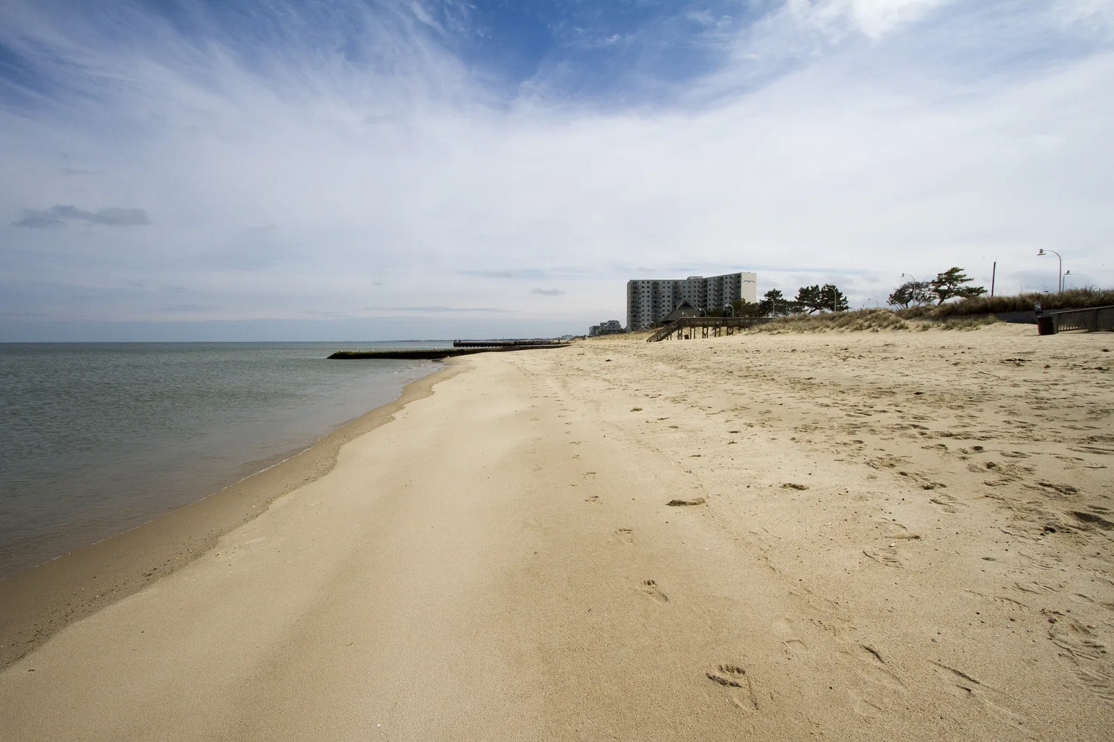
Willoughby Spit is the narrow strip of land at Norfolk’s northwest tip, with the Chesapeake Bay on one side and Willoughby Bay on the other. Interstate 64 lands here from the Hampton Roads Bridge-Tunnel. This page uses the Willoughby civic league area on the city’s map, about 336 acres.
What this means for you
- Zoned high school: Granby High for all of the area in 2026-27. Check an address with Find My School.
- Home value: $315,126 in ZIP 23503 in September 2026, according to the Zillow Home Value Index.
- Nearest interstate exit: I-64 exit 272 (West Ocean View Avenue and Willoughby Spit), about 0.6 mile from the middle of the area.
Part of our Norfolk neighborhoods guide.
Where it is
The land part of the area is all in ZIP code 23503. On the city’s zoning map, 99% is in the Coastal character district. R-C zoning covers about 46% of the land and open space about 18%.
Flood risk. About 92% of the area is in the city’s Coastal Resilience Overlay, which the Zoning Ordinance applies to “areas of the city subject to higher flood risk.” New buildings must meet extra flood standards there. See our hurricane prep guide.
Jet noise. Almost all of the area is inside the noise contours of the city’s Air Installation Compatibility Use Zone overlay, mostly the 60-decibel contour, for Chambers Field at Naval Station Norfolk across Willoughby Bay. The ordinance uses those zones to protect land “from the adverse effects associated with flight operations and high noise levels.”
Schools
These are the approved 2026-27 zones, from Norfolk Public Schools’ boundary locator. All of Willoughby falls in one zone at each level. Ratings are the state’s 2025-26 School Performance and Support Framework level and score; all three were fully accredited.
| Level | School | Address | State rating |
|---|---|---|---|
| Elementary | Ocean View Elementary | 9501 Mason Creek Road | Approaching Expectations, 79.9 |
| Middle | Northside Middle | 8720 Granby St. | Needs Intensive Support, 74.9 |
| High | Granby High | 7101 Granby St. | Approaching Expectations, 83.3 |
The Willoughby Early Childhood Center closed in summer 2026, and its students moved to the repurposed Oceanair Elementary building for 2026-27, the division’s consolidation timeline says. More in our schools guide.
Home values
The typical home value in ZIP 23503 was $315,126 in September 2026, up 1.6% from $310,077 a year earlier, according to the Zillow Home Value Index. The index is a modeled typical value for the middle third of homes, not a sale price, and 23503 also covers Ocean View and other bay-front neighborhoods, so it is not a figure for the spit alone. The citywide figure was $310,673. More in our home prices guide.
Beaches, parks and the water
From the city’s parks, boat ramp and beach access records:
- Public beach access at the bay end of 4th, 6th, 8th, 9th, 11th, 12th, 13th and 15th View streets
- Willoughby Boat Ramp, 1275 Bayville St., on a 2.6-acre site
- Captain’s Quarters Park and recreation center, 800 Little Bay Ave.
- Sarah Constant Beach Park, 324 W. Ocean View Ave., at the east end of the spit
More in our parks guide.
Getting around
- Interstate 64: exit 272 (West Ocean View Avenue and Willoughby Spit), by the signs mapped in OpenStreetMap, at the spit; westbound, I-64 enters the Hampton Roads Bridge-Tunnel to Hampton. Exit 273 (4th View Street) is about a mile east.
- City Hall: about 9.7 miles by road from the middle of the area.
- Norfolk International Airport: about 9.3 miles. Both are distances measured on the OpenStreetMap road network with the OSRM routing engine, not drive times.
- Hampton Roads Transit: route 5 (Willoughby) serves the spit.
For lane closures on the bridge-tunnel, see our road construction guide and getting around guide.
Groceries and everyday stores
OpenStreetMap maps no supermarket or pharmacy on the spit. The nearest supermarket it shows is Harris Teeter, 179 W. Ocean View Ave., about 1.7 miles from the middle of the area.
How we drew this area
Willoughby here is the civic league area of that name on the city’s civic league map, which includes some water. School and ZIP code shares were measured on a grid of points. Store locations and exit numbers are © OpenStreetMap contributors.
Frequently asked questions
What ZIP code is Willoughby Spit in?
Willoughby is in ZIP 23503, the same ZIP code as Ocean View. Zillow put the typical home value there at $315,126 in September 2026, up 1.6% from a year earlier.
What schools serve Willoughby Spit?
For 2026-27, Willoughby is zoned for Ocean View Elementary, Northside Middle and Granby High. The Willoughby Early Childhood Center closed in summer 2026, and its program moved to the former Oceanair Elementary building.
Is Willoughby Spit a good place to live?
Willoughby is a Coastal district neighborhood with eight public beach access points, a city boat ramp and the Captain’s Quarters recreation center, at I-64 exit 272. It is zoned for Granby High, rated Approaching Expectations for 2025-26, and the typical home value in 23503 was $315,126 in September 2026, according to Zillow.
Does Willoughby Spit flood?
About 92% of the civic league area is in the city’s Coastal Resilience Overlay, which the Zoning Ordinance applies to parts of the city with higher flood risk. New buildings there must meet extra flood standards.
Have your say